The quest to understand our place in the universe is one of the most enduring scientific pursuits. A new interdisciplinary planetary science initiative will focus efforts at Penn State on exploring and seeking out life in the solar system and far into the cosmos.
The Consortium for Planetary and Exoplanetary Sciences and Technology aims to provide a new approach to studying how planets form, evolve and become habitable, and detecting and potentially exploring these worlds. It brings together researchers from across departments, colleges and Penn State campuses.
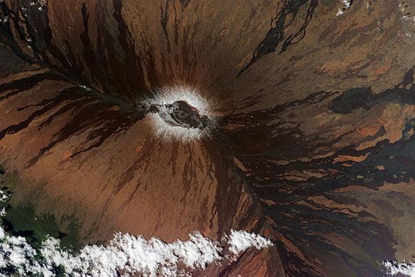
RADAR satellites can collect massive amounts of remote sensing data that can detect ground movements — surface defomations — at volcanoes in near real time. These ground movements could signal impending volcanic activity and unrest; however, clouds and other atmospheric and instrumental disturbances can introduce significant errors in those ground movement measurements.
Now, Penn State researchers have used artificial intelligence (AI) to clear up that noise, drastically facilitating and improving near real-time observation of volcanic movements and the detection of volcanic activity and unrest.
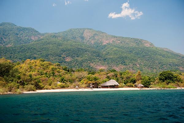
Climate change could put a major fishery — and the millions of people who depend on it — at risk in one of the world’s most vulnerable regions, according to researchers.
“Fisheries are important to food security throughout the world,” said Sarah Ivory, assistant professor of geosciences at Penn State. “Developing nations, like those surrounding Lake Tanganyika in eastern Africa, depend on fish as an important protein source. It’s also an important part of their cultural identity.”
By Katherine Kornei
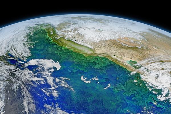
Never underestimate pond scum. The asteroid impact that killed most of the dinosaurs 66 million years ago also created conditions for ocean microbes to flourish, according to a new study. In microscopic rock crystals, researchers have found evidence that massive blooms of algae and photosynthetic bacteria covered the world’s oceans, providing food for larger marine creatures soon after the cataclysm.
Penn State students are working virtually on the Pennsylvania Solar Center’s Renew PA Works campaign in an effort to educate Pennsylvanians about the benefits of renewable energy, including job creation. The opportunity is made possible through City Semester, an internship program facilitated by the Penn State Center Pittsburgh, a Penn State Outreach service.
Christelle Wauthier, associate professor of geosciences in the College of Earth and Mineral Sciences, received a Faculty Early Career Development Program (CAREER) Award from the National Science Foundation to develop numerical models to characterize volcanic flank instability processes.
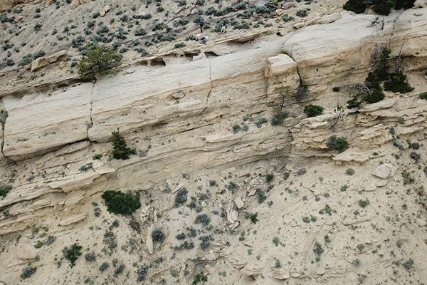
In a field exercise, geosciences student Katie Reilly moved from point to point, analyzing surface geological formations, hoping to gain insight into the environmental conditions that formed portions of the Rocky Mountains.
For experienced undergraduate students in Penn State's College of Earth and Mineral Sciences, this capstone field camp is a rite of passage. Each year, dozens of students usually spend six weeks exploring the topography and geologic features of the Western United States, analyzing firsthand the expression of forces that they’ve spent years learning.
Roman DiBiase won’t soon forget the name of an early mentor when he began his career at Penn State in 2014.
He was recently named the Rudy L. Slingerland Early Career Professor of Geosciences, a distinction that honors the now retired Penn State professor and will help fund DiBiase’s research studying how landscapes erode over geologic time, shaping mountains and in an instant leading to hazards from fires, floods and landslides.
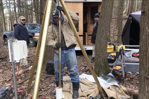
UNIVERSITY PARK, Pa. — Chemical reactions deep below ground affect water quality, but methods for “seeing” them are time-consuming, expensive and limited in scope. A Penn State-led research team found that seismic waves can help to identify these reactions under an entire watershed and protect groundwater resources.
“About one third of the U.S. population gets their drinking water from groundwater, so we need to protect this valuable resource,” said Susan Brantley, distinguished professor of geosciences and director of the Earth and Environmental Systems Institute (EESI) at Penn State. “At this point, however, we don’t know where the water is or how it moves in the subsurface because we don’t know what is down there. In this study we used human-generated seismic waves — similar to the waves from earthquakes — to look under the surface.”
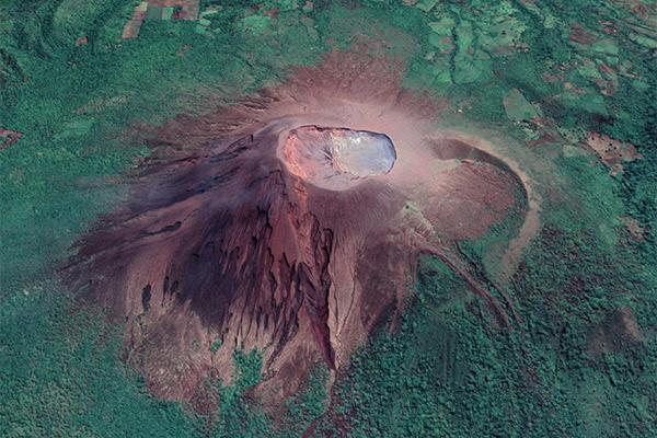
The shape of volcanoes and their craters provide critical information on their formation and eruptive history. Techniques applied to photographs — photogrammetry — show promise and utility in correlating shape change to volcanic background and eruption activity.
Changes in volcano shape — morphology — that occur with major eruptions are quantifiable, but background volcanic activity, manifesting as small volume explosions and crater wall collapse, can also cause changes in morphology and are not well quantified.


